
day 4: Thursday June 18—Costa, Cayber, Electric QT, Snowflake
 Midnight Arctic map discussion.
 Hello Friends,
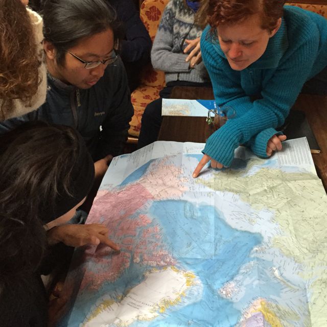
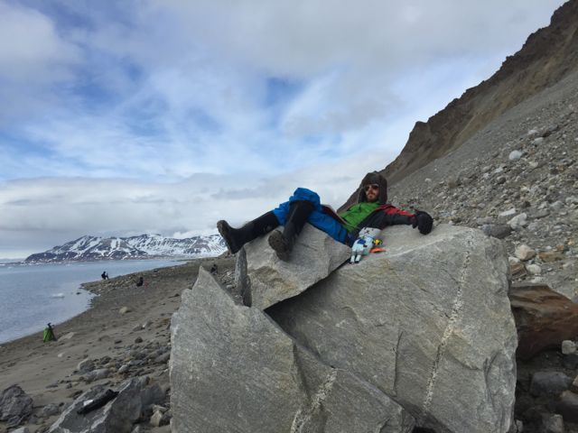
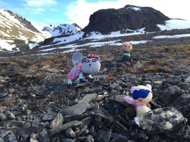
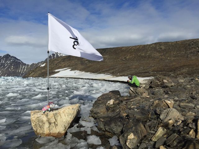
Costa here today. Snowball and Max were up late last night studying the Arctic map with Reneltta, Ayo and Sarah so they didn't come out with us. Our morning landing site was on the northern side of Fjortende Julibukta.
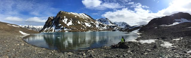
We were very excited to walk up to the dead-ice of Fjortende Julibreen. Or maybe it's called the ice-cored moraine. I'm still doing some research on glacier names and parts. It's fascinating! Here is a photo glossary I have been using from the US Geological Survey (USGS). If you come across any other useful resources, let me know.
Costa here today. Snowball and Max were up late last night studying the Arctic map with Reneltta, Ayo and Sarah so they didn't come out with us. Our morning landing site was on the northern side of Fjortende Julibukta.
We were very excited to walk up to the dead-ice of Fjortende Julibreen. Or maybe it's called the ice-cored moraine. I'm still doing some research on glacier names and parts. It's fascinating! Here is a photo glossary I have been using from the US Geological Survey (USGS). If you come across any other useful resources, let me know.
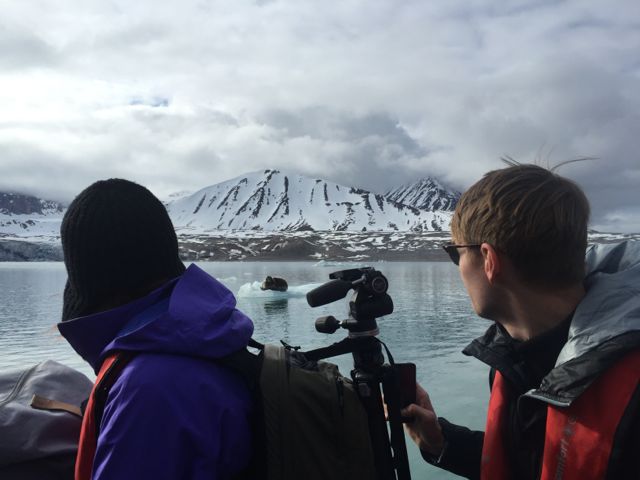


Theres on the lookout, keeping us safe!
Theres was at the far end of the safe zone so it took us a while to walk down the shore all the way to her and the ice wall. Just to the right of my head, you can se a mini waterfall formed from the ice melt. She told us we could touch the wall but to be careful of the rock lodged into the ice. Can you spot it? It's in the darker silt area of the ice that I think looks like a handprint. We were super careful and later on in the morning as we were painting, we saw and heard that rock plop down. Definitely could've cracked a head open.
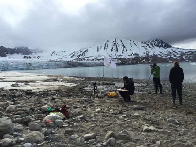
We asked Theres to share with us the steps to determine safe zones and keeping them so.
- First survey from the boat with binoculars—look for movement, a PB's surface is different from rocks
- Check the terrain on land—look for tracks in muddy areas and fresh snow, oftentimes old tracks can be spotted
- Be positioned in a location with a good view and continually scan water and moraine—PBs prefer sea ice, they also travel from one fjord to the other by land or they swim, resting on icebergs along the way
Signehamna
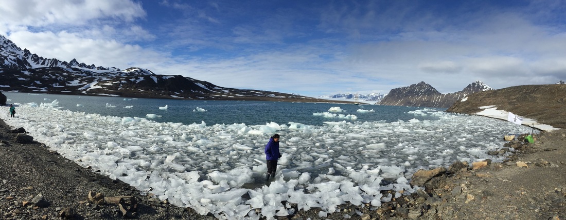
In the afternoon, we sailed north to Lilliehöökfjorden making a landing at Signehamna. Look at all the ice!

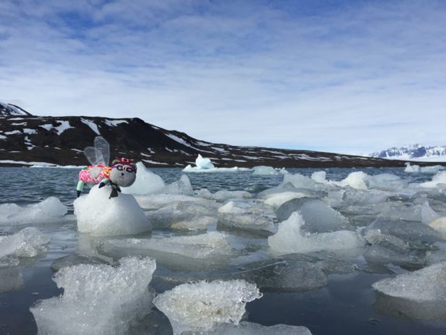
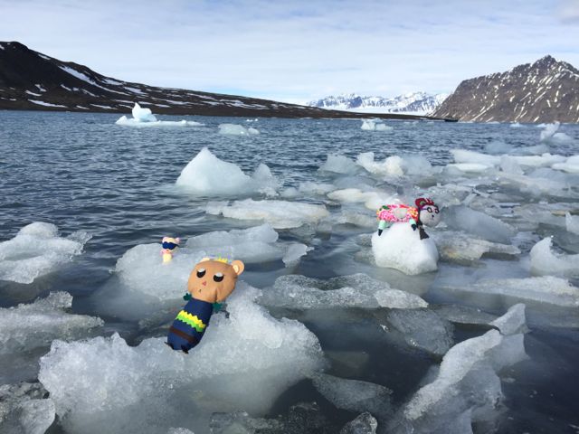

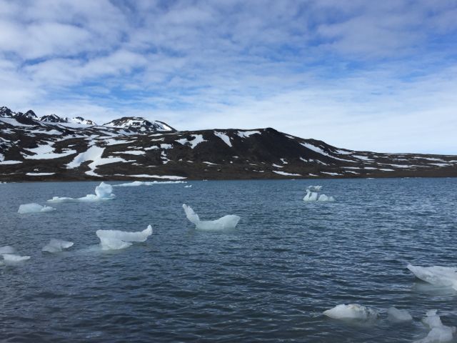
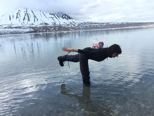
My favourite part of the day was exploring amongst the mini icebergs and feeling the gentle lull as they were pushed ashore.
—Costa
—Costa
 RSS Feed
